Tree Locations
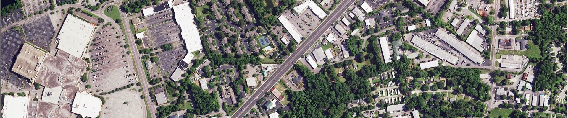
The Tree Locations product is a high-resolution vector dataset that maps individual trees to support improved management of tree resources and 3D visualization. Trees are delivered as points, polygons and idealized circular crown polygons. Tree locations and height data are derived from LIDAR (Light Detection and Ranging) data where available. The LIDAR data is analyzed along 1 meter or better resolution, 4 band color infrared imagery that is flown as part of the National Agriculture Imagery Program (NAIP) or other orthoimagery. The Tree Locations data provides a cost-effective solution where individual tree mapping is needed for your application.
Tree Data
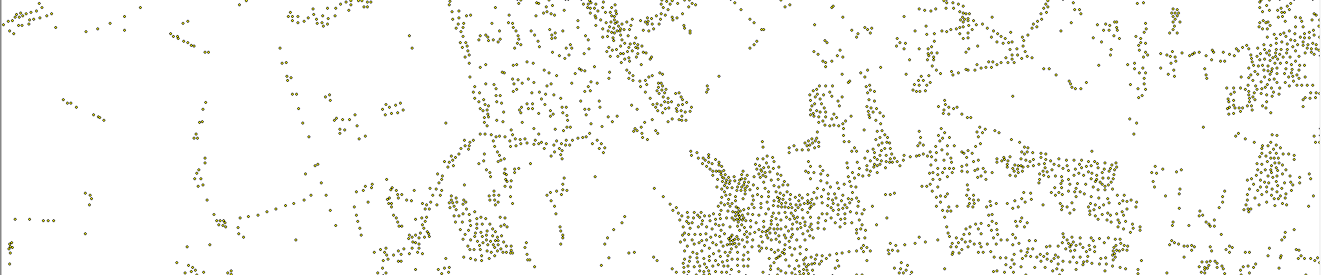
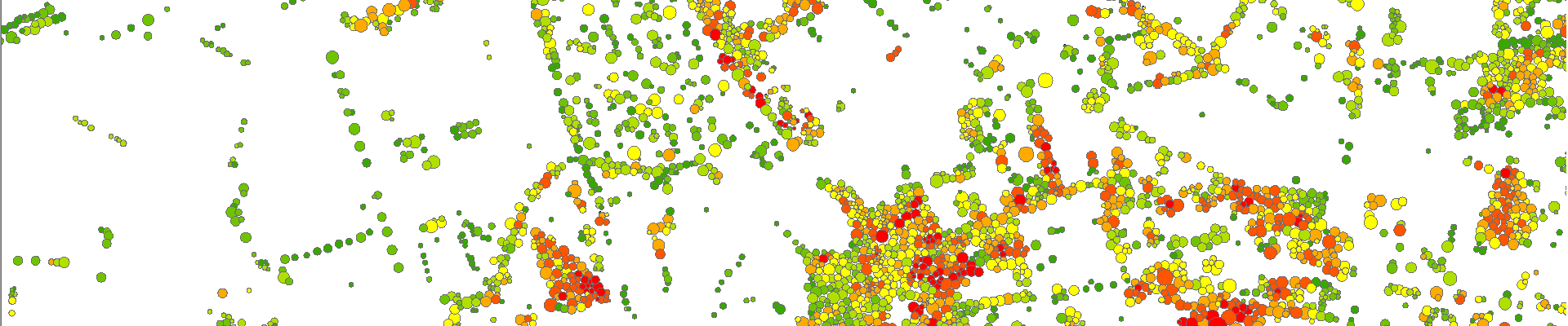
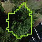
| Tree Point | Tree Polygon | Idealized Tree Crown |
|---|---|---|
 |
 |
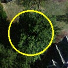 |
What can you do with the Tree Locations data?
The Tree Locations product helps government agencies, companies and non-profits by supplying accurate and spatially explicit high-resolution tree cover data for performing a wide range of mapping and spatial analysis functions. Example applications include:
- assessing insurance risks
- improving wireless network design
- 3d visualization of trees in urban environments using applications like ESRI CityEngine
- modeling timber yields
- assessing environmental impacts of development
- wildfire modeling
- assessing risk to power lines and utility infrastructure
- finding champion tree locations
- assessing property values
Related Products
US Tree Map
Canopy Height Model (CHM)
Land Cover
US Impervious Map
US 3D Building Footprints
| Technical Specifications | |
|---|---|
| Attributes | Tree ID Maximum Height Mean Height Crown Area |
| Height Units | Feet |
| Accuracy | >95% |
Contact Us
Latest Tweets @earthdefineLLC
Contact Us
8410 154th Avenue NE, Suite C-240
Redmond, WA 98052
Phone: 1.800.579.5916
Email: info@earthdefine.com
2021 © All Rights Reserved.