
EarthDefine Canopy Height Model
85%+ of the US at 60cm resolution. Tree heights in feet, updated annually.
EarthDefine's Canopy Height Model maps tree height as a continuous 60cm raster across more than 85% of the United States: the largest archive of tree-canopy-height data in the country. Each pixel records the overstory height above the underlying ground, derived from LiDAR and high-resolution imagery and refreshed annually. It is the foundational layer for forestry, utility, wildfire, and wireless-planning analysis.
A Canopy Height Model is a high-resolution (60cm) raster layer that maps tree height as a continuous surface: each pixel represents the overstory height above the underlying ground topography. The key data source is LiDAR. Light Detection and Ranging measures elevation for different surface types from the light pulses reflected back to the sensor, producing dense 3D point clouds that can be analysed to map surfaces and their heights. The accuracy and quality of a CHM improve with higher point-density LiDAR.
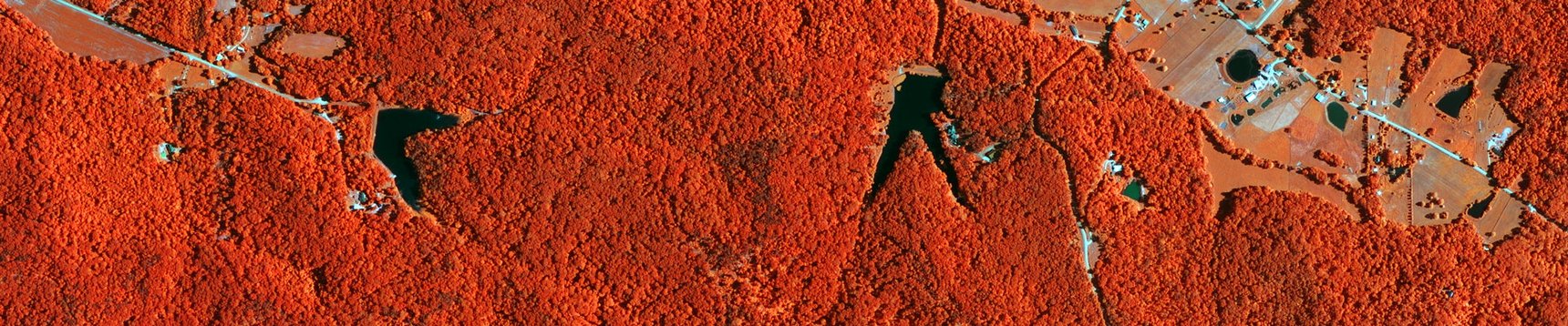

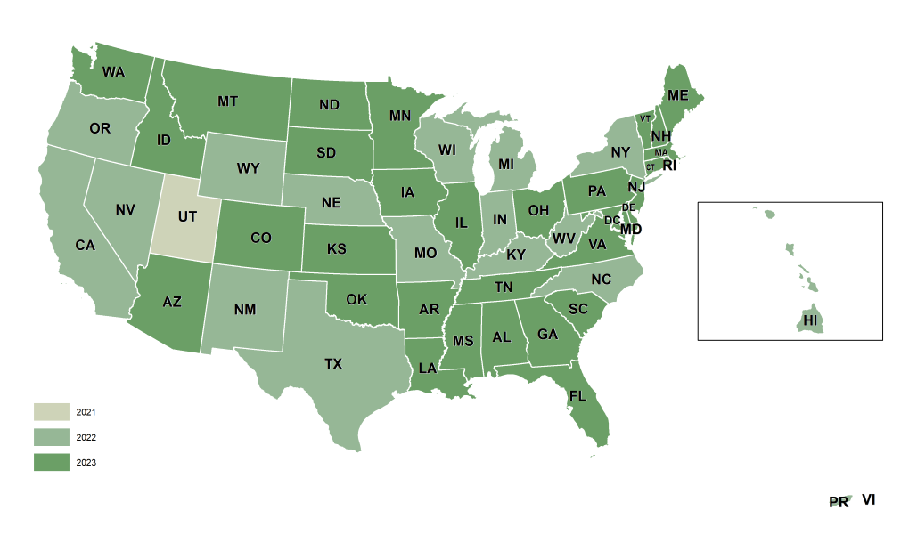
It is a 60cm raster in which each pixel records tree-overstory height above the ground, derived directly from LiDAR rather than interpolated. It covers 85%+ of the US and is updated annually.
Heights are measured from LiDAR with a minimum mapping unit of about 0.005 acres, so even small individual trees are captured.
Forestry metrics, fuel-load and wildfire modelling, line-of-sight and RF planning, and solar-shade analysis.
Yes. Download a free Canopy Height Model sample and open it in your own GIS, no cost and no sign-up.
The raster works in all major GIS and remote-sensing tools, including ArcGIS and QGIS.
Talk to our team about Canopy Height Model coverage for your region, or download a free sample to evaluate the data yourself.

