EarthDefine Impervious Map
Nationwide at 60cm. All impervious surfaces. Produced to order using the latest available imagery.
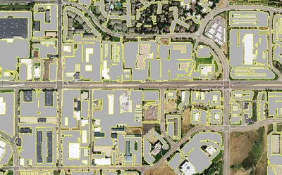
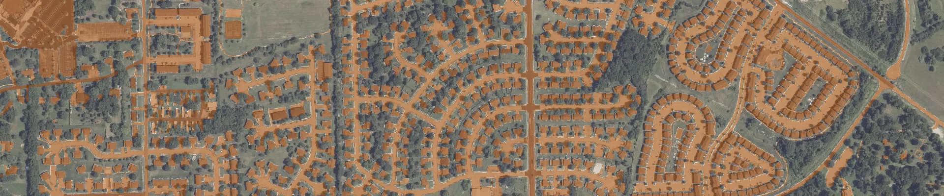
EarthDefine's Impervious Map is the most detailed and up-to-date mapping of impervious surfaces across the contiguous United States. It captures built-up surfaces, buildings, roads, sidewalks, parking lots, airports and more, as a single impervious class at 60cm resolution. We produce it to order for any area you need, using the latest available imagery.
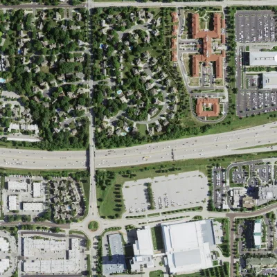
Kansas City, KS · NAIP imagery

EarthDefine Impervious Map
We developed a robust AI model that consistently classifies impervious cover in aerial imagery across the continental US. It classified over 120 terabytes of high-resolution colour-infrared imagery spanning more than 3.1 million square miles to create the Impervious Map.
The National Land Cover Database (NLCD) is the only other nationwide impervious dataset, but at 30-metre resolution on a five-year cycle it is not suited to precise, current analyses. Our map classifies impervious cover at 2500 times the spatial resolution, using the latest available imagery, capturing even driveways and sidewalks, and resolving surfaces partially obscured by tree cover or shadow so road connectivity and structures stay accurate.
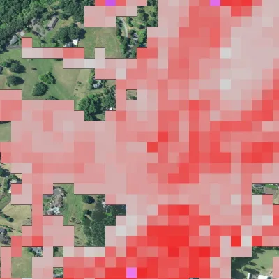
NLCD · 30m impervious
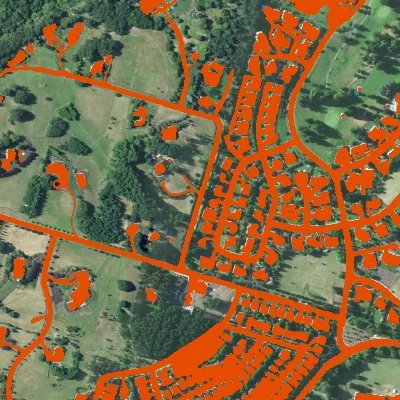
EarthDefine · 60cm impervious
The Impervious Map has an overall accuracy of 94.9% in census-defined urban areas. Accuracy was assessed using 48,000 random points (1,000 per state).
The Impervious Map AI model can map impervious cover from aerial imagery of previous years. For most of the US we have historical imagery back to ~2010, so multiple snapshots can be derived for change analysis.
High-resolution impervious-cover data is a key environmental indicator useful for many applications.
We produce the Impervious Map to order for any area of the contiguous United States, using the latest available imagery.
Need more frequent updates? Ask about satellite updates for your area.
Download the datasheet, or grab a free sample for any of 15 US cities.
A 60cm raster of impervious surfaces, buildings, roads, sidewalks, parking lots and more, mapped as a single class.
94.9% accuracy in urban areas, and even higher accuracy in rural areas.
Stormwater runoff and water-quality modelling, urban heat-island analysis, TMDL studies, and dasymetric population mapping.
We produce the Impervious Map to order using the latest available imagery for your area.
Yes. We can update the Impervious Map for your area every six months or annually using commercial satellite imagery. We can also use satellite imagery you’ve purchased after checking that it works with our models. Satellite updates cost more than our standard data, and using your own imagery may add to the cost depending on the validation required. Pricing is per project, with a $1,000 minimum order. Contact us to discuss timing.
Pricing is per project, with a $1,000 minimum order. We produce the data to order, and delivery timing depends on the size of your area. Send us your area of interest for a quote and delivery estimate.
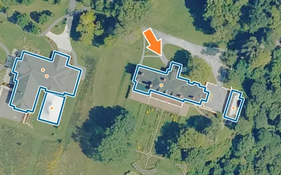
Rooftop polygons with heights, stories, and addresses for 202M+ properties.
Learn moreTalk to our team about Impervious Map coverage for your region, or download a free sample to evaluate the data yourself.