
EarthDefine Tree Map
Nationwide at 60cm. Maps woody vegetation. Available off-the-shelf.
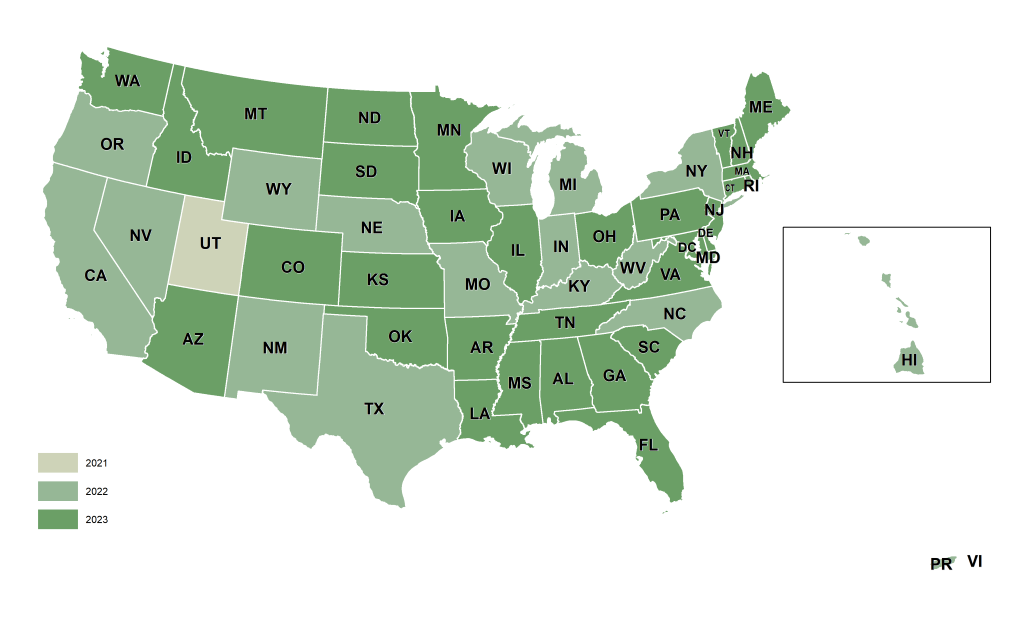
EarthDefine's Tree Map is the most detailed and up-to-date tree-cover dataset for the United States. It maps the presence or absence of trees at 60cm resolution, capturing individual trees and small gaps in the canopy, and is refreshed annually to reflect deforestation, urbanisation, land-use change, and natural disasters.

Asheville, NC · NAIP imagery

EarthDefine Tree Map

NLCD · 30m tree canopy · Misses all medium to small tree clusters

EarthDefine · 1m tree canopy · Captures every tree cluster and even small trees
EarthDefine has partnered with PlanIT Geo to deliver pre-analysed tree-cover data so you can plan and manage your urban forest with ease. The TreePlotter Canopy solution lets users jump straight into analysis without specialised GIS staff or software, with tree-equity scores, ecosystem benefits, and interactive maps for community engagement.
A 60cm raster of tree-canopy presence and absence.
96.6% overall accuracy, up to 2,500x finer than the NLCD tree-canopy layer.
Urban tree-canopy (UTC) assessments, wildfire defensible-space analysis, carbon storage and sequestration, and utility vegetation risk.
Annually, as new high-resolution imagery becomes available.
Talk to our team about Tree Map coverage for your region, or download a free sample to evaluate the data yourself.

