Tree Locations hero overlay: Charleston SC trees

EarthDefine Tree Locations

Points, polygons and heights for individual trees, updated annually.

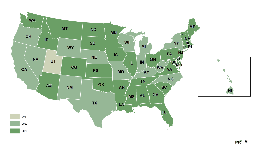
EarthDefine's Tree Locations is a high-resolution vector dataset that maps individual trees to support tree-resource management and 3D visualisation: the largest archive of high-resolution tree data in the US. Trees are delivered as points, polygons, and idealized circular crown polygons, with locations and heights derived from LiDAR where available, analyzed against 60cm or better color-infrared NAIP imagery. It is a cost-effective solution wherever individual tree mapping is needed.

85%+
of the US covered
>95%
accuracy
Annual
updates from new imagery

Three ways every tree is delivered

Tree Locations attribute: Tree Point

Tree Point

A point at each tree, attributed with ID, mean and maximum height, and crown area.

Tree Locations attribute: Tree Polygon

Tree Polygon

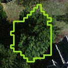
A polygon tracing the mapped extent of each tree canopy.

Tree Locations attribute: Tree Crown (circle)

Idealised Crown

A circular crown polygon sized to each tree, ideal for 3D visualisation.

How industry leaders apply Tree Locations data

Tree Locations supplies agencies, companies, and non-profits with accurate, spatially explicit tree data for a wide range of mapping and analysis functions.

  • assessing insurance risk
  • improving wireless network design
  • 3D visualisation of trees in urban environments with tools like ESRI CityEngine
  • modelling timber yields
  • assessing the environmental impact of development
  • wildfire modelling
  • assessing risk to power lines and utility infrastructure
  • finding champion (Big Tree Register) tree locations
  • assessing property values

See individual trees in the free samples

Browse free samples

Data coverage and freshness

Derived from the latest NAIP acquisition cycle, the most current and consistent nationwide aerial imagery program available. Every dataset includes source-imagery metadata, so your analysis stays reproducible and defensible.

Shared: EarthDefine coverage map (US, 2026)

Frequently Asked Questions

What does Tree Locations include?

Individual tree features: points, crown polygons and heights across the area of interest.

How accurate and current is it?

Greater than 95% accuracy across 85%+ of the US, updated annually from new imagery.

What is it used for?

Tree inventory and asset management, utility vegetation management, and right-of-way planning.

Can I download a free sample?

Related Products

Social card: Tree Map

Tree Map

Tree-canopy presence and absence as a 60cm raster, 96.6% accurate.

Learn more
Social card: Canopy Height Model

Canopy Height Model

Tree-overstory height above ground, a 50cm LiDAR-derived raster.

Learn more

Map every tree across your area of interest

Talk to our team about Tree Locations coverage for your region, or download a free sample to evaluate the data yourself.

Speak to a Data Expert Download a free sample