
EarthDefine Impervious Map
Nationwide at 60cm. All impervious surfaces. Updated annually.
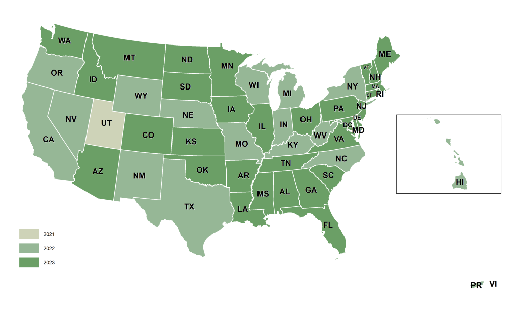
EarthDefine's Impervious Map is the most detailed and up-to-date mapping of impervious surfaces across the contiguous United States. It captures built-up surfaces, buildings, roads, sidewalks, parking lots, airports and more, as a single impervious class at 60cm resolution, refreshed annually to track the changing built environment.


A 60cm raster of impervious surfaces, buildings, roads, sidewalks, parking lots and more, mapped as a single class.
94.9% accuracy in urban areas, and even higher accuracy in rural areas.
Stormwater runoff and water-quality modelling, urban heat-island analysis, TMDL studies, and dasymetric population mapping.
Annually, tied to new aerial imagery.

Rooftop polygons with heights, stories, and addresses for 191M+ properties.
Learn moreTalk to our team about Impervious Map coverage for your region, or download a free sample to evaluate the data yourself.
