
Built Environment vs. Canopy Cover: A Reality Check on Urban Wildfire
May 15, 2026
Cal Poly data shows building density, rather than tree canopy, drives urban fire loss . This suggests that clearing trees may not be the most effective policy for reducing fire damage.
A new Cal Poly study, due in Urban Forestry & Urban Greening this July, looked at 15,082 structures and 52,893 tree canopies inside the Eaton and Palisades fire scars. Headline finding: building density — not tree canopy — was the strongest predictor of whether a home was lost.
The canopy results were small and contradictory between the two fires. In Eaton, higher canopy density was associated with slightly higher loss probability (+0.6 pp per canopy per hectare). In Palisades, it ran the other way (–0.24 pp). Same variable, opposite sign. Simulating removal of all canopy within two meters of every structure produced only modest reductions in predicted loss — 3.4 pp for Eaton, 1 pp for Palisades.
This matters because California's Zone Zero rules push toward stripping vegetation in the first five feet around homes. If the canopy signal is this weak and inconsistent, large-scale removal could trade real public-health and cooling benefits for a marginal fire-safety gain.
The paper points toward harder work: structure spacing where possible, ember-resistant vents and roofs, fire-resistant materials, neighborhood-scale planning. Less a vegetation problem, more a built-environment problem.
We work in geospatial data and we map both buildings and trees across the U.S. The honest read here is that the variable doing the most work in extreme urban firestorms is the one we've been treating as background. Worth a closer look before policy hardens around the wrong lever.
Source Cal Poly- https://lnkd.in/gNsfCXHb
Related products
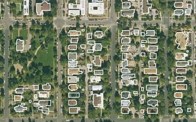
Building Footprints 3D
202M+ buildings mapped, with heights and elevations. Available off-the-shelf.
Learn more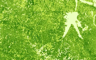
Canopy Height Model
85%+ of the US at 50cm resolution. Tree heights in feet. Produced to order using the latest available LiDAR.
Learn more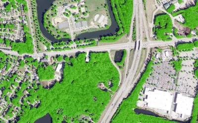
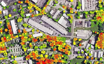
Tree Locations
Points, polygons and heights for individual trees, produced to order using the latest available imagery.
Learn more