DepaveLA: Mapping Excess Pavement to Unlock Urban Resilience
Feb 20, 2026
LA County’s pavement is 44% unnecessary, finds a new report. High-res land cover data maps urban heat/flood hotspots, unlocking greener, resilient cities.
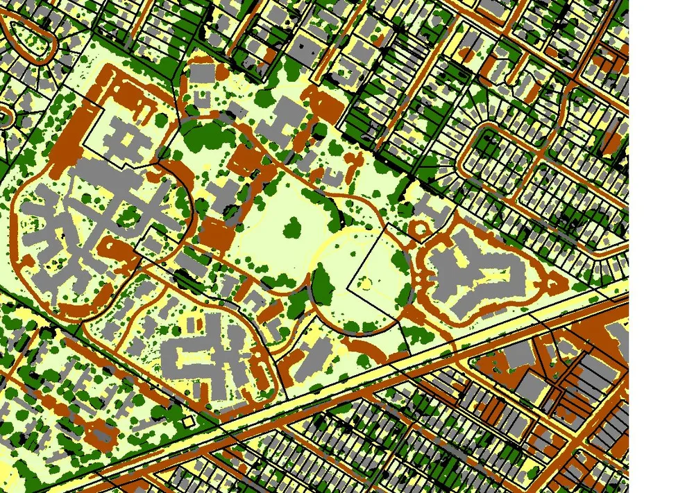
Los Angeles County has 312,000+ acres of pavement. If consolidated, it would be California's largest city.
A first-of-its-kind report — DepaveLA — just mapped every paved surface at the parcel level and found that 137,000 acres (44%) isn't needed for roads, sidewalks, or parking.
Where it gets really interesting:
• 90% of that non-core pavement is on parcels, not in the public right-of-way.
• Private property holds 4x more excess pavement than public land.
• 3,179 school campuses average 40% pavement coverage.
• 14,862 acres sit on vacant parcels — pavement serving no purpose at all.
The report layered this with heat exposure, flood risk, and canopy gaps to identify "stacked needs" hotspots. 79% of those hotspots are in designated disadvantaged communities.
This is the kind of analysis every metro area in the country needs. And it starts with one thing: high-resolution land cover data that can distinguish pavement from trees from bare soil from buildings — at the parcel level, at scale.
This is the work we do every day at EarthDefine.
We’re already scaling this data across other U.S. metros. If you’re working on urban resilience and need this level of clarity to drive action in your city, We’d love to connect—send us a DM.
#UrbanResilience #LandCover #GeospatialAI #ClimateAdaptation #Depaving #EarthDefine
Full story: https://lnkd.in/gzQ6cvzb
Land cover images are from Louisville, KY
Related products
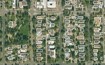
Building Footprints 3D
202M+ buildings mapped, with heights and elevations. Available off-the-shelf.
Learn more
Land Cover
Seven ground-cover classes at 30cm or 60cm resolution, produced on demand for your area of interest across the United States.
Learn more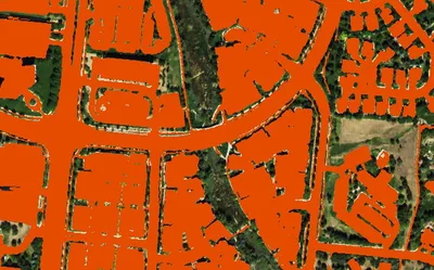
Impervious Map
Nationwide at 60cm. All impervious surfaces. Produced to order using the latest available imagery.
Learn more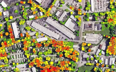
Tree Locations
Points, polygons and heights for individual trees, produced to order using the latest available imagery.
Learn more