EarthDefine Maps U.S. Built-Up Surfaces and Parking Lots with AI
Mar 9, 2021
EarthDefine used AI to map all U.S. built-up surfaces and parking lots at 1-meter resolution, giving communities 95% accurate data to model flood risks, heat islands, and urbanization impacts.
EarthDefine Uses AI to Map All Built-Up Surfaces and Parking Lots in the United States
Source: PR Newswire
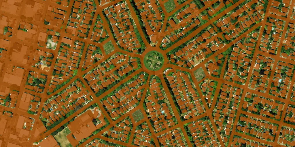
REDMOND, Wash., March 9, 2021 /PRNewswire/ -- EarthDefine, a provider of high-resolution geospatial products, announced the release of the most detailed and comprehensive assessment of built-up surfaces in the United States. EarthDefine released the 1-meter resolution US Impervious Map and US Parking Lots products, adding two new high-resolution mapping layers to its growing archive of nationwide data products.
Impervious cover comprises of all built-up surfaces that cannot absorb rainfall like roads, houses, sidewalks, airports, parking lots, and other paved areas. Having accurate and updated data on the built-up surfaces is critical for understanding and modeling the effects of increasing urbanization on the environment. The new high-resolution US Impervious Map will help in:
- Calculating stormwater runoff volume, modeling water quality and flood risk at local and regional scales
- Improving our understanding of urban heat islands
- Assessing non-point source pollution and downstream water quality
- Assessing stream bank stability and streambed sedimentation
- Improving the mapping of urban and rural populations across the US
The US Impervious Map maintains extremely high accuracy (95%) while mapping impervious surfaces at 900 times the resolution of existing datasets that are available nationwide. By continually refining it's AI algorithms and applying them to newer imagery each year, EarthDefine will maintain a 'live' map of impervious surfaces in the U.S.
"Historically, high-resolution impervious cover data has been cost-prohibitive to create across large geographical areas like entire states, due to the massive volume of variable imagery and Lidar data that needed to be accurately classified," said EarthDefine CEO, Vikalpa Jetly. "Only a couple of states made multi-year investments to accurately map their impervious surfaces. And many of these datasets are quite old and no longer reflect the current impervious cover." EarthDefine has effectively leveraged advancements in AI and cloud-based computing to successfully overcome these challenges.
"With the availability of our off-the-shelf impervious cover data, we hope to expand access to high-quality impervious cover data for local communities across the US." Jetly continues, "We are also working with a partner to build a Data as a Service (DaaS) offering that will enable users to easily visualize and analyze the US Impervious Map data aggregated at the neighborhood, block, or parcel levels, on-demand, for any community within the country."
To read more, click on the linkhttps://www.prnewswire.com/news-releases/earthdefine-uses-ai-to-map-all-built-up-surfaces-and-parking-lots-in-the-united-states-301243322.html?tc
Related products
Impervious Map
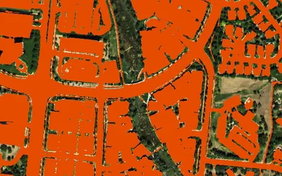
Nationwide at 60cm. All impervious surfaces. Produced to order using the latest available imagery.
Learn more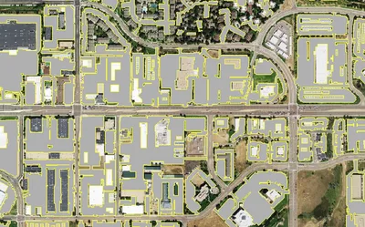

Land Cover
Seven ground-cover classes at 30cm or 60cm resolution, produced on demand for your area of interest across the United States.
Learn more