Have You Mapped It? Entrepreneur Edition
Mar 13, 2026
See how spatial data transforms public safety gaps into an impactful startup framework, protecting children and building community trust where school buses are getting axed.
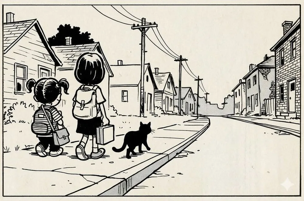
Let's say you (and we) want to build an impactful product for busy parents.
'Have you mapped it?' series: Entrepreneur edition
Your product connects families in the same neighborhood for school pick-ups and drop-offs. You want to ensure high trust and keep it local to help families develop a sense of community.
We'd truly love it if someone built on this idea, and we can help with the first step: mapping it. Your instinct might be to pilot this idea in a dense neighborhood, but think about mapping the issues first.
School bus services are getting axed for families within a 1-2 mile school radius. Walking 1-2 miles is great for kids when it’s safe, but when you consider missing sidewalks, accident hotspots, crime, and sunrise/sunset times, you get why parents are rightfully worried about their little ones everyday. Many families don’t have the time or resources to do daily school runs, so the problem is very real.
Mapping to the rescue!
1. Start with where the real safety concerns are and make your ‘Unsafe Walk Zone’ (UWZ) map. Overlay pedestrian infrastructure gaps like missing sidewalks and uncontrolled crossings [OpenStreetMap - free], accident hotspots [NHTSA or local DOT - free], and crime incident data [local open data portals - free] on top of school walk zone boundaries [district open data - free]. Layer local sunrise times by season [NOAA solar calculator - free] with school start times [district data - free] to calculate when children have to travel in darkness
2. Then find which families need help the most: typically, folks who don’t have nannies or can’t drive their kids, or have very little flexibility. Overlay car ownership rates [Census - free] and single-parent households [Census - free] as proxies.
Now you have a data-driven approach to starting your impactful business. Your UWZ map (look at you, already using TLAs!) is an excellent marketing asset that shows parents exactly which streets and crossings make the walk genuinely risky. You're not fear-mongering, but you're helping corroborate the instincts that parents already have.
When your analysis needs to go deeper (school boundaries, tree canopy, parking lots), EarthDefine can help. Until then, you can get quite far with free public data.
This is part of our 'Have you mapped it?' series: how spatial intelligence can help solve problems and change outcomes.
Series intro: https://lnkd.in/gjwWFk63
Post 1: Academic grant writing: https://lnkd.in/g7-2MMET
Post 2: Methods section for researchers: https://lnkd.in/gnFEuUjn
Post 3: Healthcare edition: https://lnkd.in/gNg3AhJ9
#GIS #Entrepreneurship #SmallBusiness #SafeSchools #ChildSafety #YoungParents
Related products
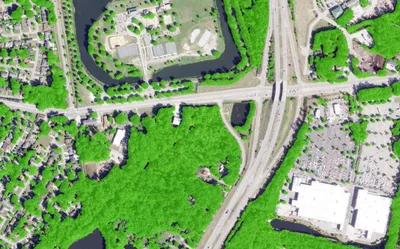

Canopy Height Model
85%+ of the US at 50cm resolution. Tree heights in feet. Produced to order using the latest available LiDAR.
Learn more