Have you mapped it? Grant Writing Edition
Apr 8, 2026
Stop describing problems in paragraphs. Win your next academic grant by mapping them! Combine free USDA, Census, and historical data to show reviewers the why, where, and how in one shot.
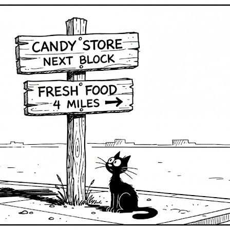
'Have you mapped it?' series: Grant writing edition for academics
Let’s say you are writing a grant to study urban ‘food deserts’. You can describe the problem in paragraphs... or you can map it! For e.g., you can lay a map of ‘grocery store locations’ [USDA Food Access Research Atlas: free] on top of an ‘income levels’ and ‘car ownership’ map [US Census - free]. Add ‘historical redlining maps’ (also free) to map inequality.
The visualization will not only show ‘an overwhelming x% live more than one mile from fresh food without transport’, but also ‘where’! Notably, in neighborhoods that were systematically denied investment 90 years ago. Your idea becomes more compelling because your reviewers will see the problem, the scale, and the historical roots all in one shot, in your informative #GIS map.
Although there’s plenty of visual appeal, the real advantage is that you’d be preempting questions reviewers didn't even know they had. Where's the need, how did it get this way, why does intervention matter here specifically, and what kinds can work?
Maps can answer ‘why’, ‘where’ and ‘how’ simultaneously, making it easier to warrant funding. We still need you to work out the 'what to do' bit :)
For academics: Start with the free resources linked below - you can go quite far. When your research needs precision data for publication-grade work (like nationwide tree canopy at 60cm resolution, 3D building footprints, land cover datasets), EarthDefine provides data that federal agencies and universities rely on, especially when accuracy specs matter. If your project is there, let's talk about research collaborations.
[This is part of our ‘Have you mapped it?’ series: how spatial intelligence can help solve problems and change outcomes. Read the series intro here: https://lnkd.in/gjwWFk63]
Related products
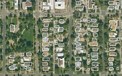
Building Footprints 3D
202M+ buildings mapped, with heights and elevations. Available off-the-shelf.
Learn more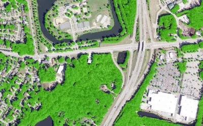

Land Cover
Seven ground-cover classes at 30cm or 60cm resolution, produced on demand for your area of interest across the United States.
Learn more