Have you mapped it? Healthcare edition
Mar 25, 2026
Use spatial mapping to bridge the gap between overdose hotspots and life-saving naloxone distribution to guide effective public health interventions.
'Have you mapped it?' series: Healthcare edition
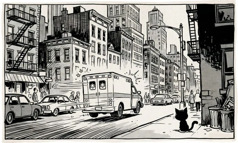
Note: This post is our homage to The Pitt, a brilliant TV series, and to healthcare heroes everywhere.
As the show reminds us, overdose deaths are highly preventable and yet are increasing each year. You've probably heard that Narcan (naloxone) can save a life within minutes, but folks are still dying.
The sad reality is, anyone can administer Naloxone - no training needed, instructions are on the packet: spray into one nostril, wait 2-5 mins. It's harmless even if you're wrong about the overdose. But it's just not there when it's needed. This is a clear case for good maps.
Here's how you can map it: You layer overdose death locations [CDC Wonder - free] against naloxone distribution sites [Naloxone finder - free], medication-assisted treatment clinics [SAMHSA Treatment Locator - free], and public transit access [GTFS data - free]. Then you add demographic data [Census - free].
You'll likely find that neighborhoods with the highest overdose rates have no naloxone within a 15-minute walk. The nearest help centers are two bus routes away, which doesn't help in an emergency. These are also areas with low car ownership and higher poverty rates.
The map hightlights problem areas and also shows where to act. Partner with community orgs to put naloxone vending machines in high-need areas (libraries, community centers, transit hubs). Educate staff at corner stores and laundromats on how simple it is to use. And add mobile distribution units that follow the map's hot spots.
We can empower bystanders to save lives and reduce preventable deaths in the next 1-2 years. Geographic access to naloxone is literally a life or death issue.
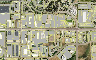
To the healthcare administrators and public health leaders out there: if you're analyzing overdose patterns or planning harm reduction services, mapping shows where intervention matters most. When you need to know where to place distribution units that are safe, cool, and accessible, that's where precision location data can be powerful - like building footprints, parking lots, tree cover, transit access. EarthDefine is here to help, so reach out if your project is there.
PS: We highly recommend watching ‘The Pitt’ to get some perspective on our collective lives as humans. It reminds us how we can be there for each other in those critical life/death minutes. Maps can literally help us make sure those minutes don't run out before help arrives.
This is part of our 'Have you mapped it?' series: how spatial intelligence can help solve problems and change outcomes.
- Series intro: https://lnkd.in/gjwWFk63
- Post 1: Academic grant writing: https://lnkd.in/g7-2MMET
- Post 2: A fun Methods section for researchers: https://lnkd.in/gnFEuUjn
#PublicHealth #HarmReduction #HealthEquity #CommunityHealth #GIS
Related products
Building Footprints 3D
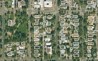
202M+ buildings mapped, with heights and elevations. Available off-the-shelf.
Learn more