Have you mapped it? Methods Section edition
Apr 2, 2026
Stop fighting your methods section. Map your data first to isolate variables, dodge peer-reviewer traps, and build bulletproof research models.
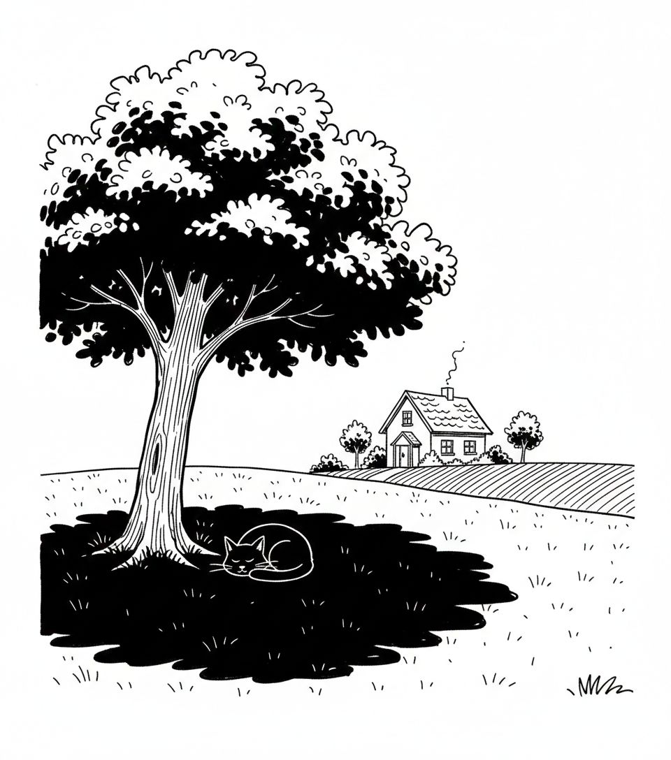
'Have you mapped it?' series: A fun Methods section edition for researchers
A good map gives us the same feeling you get when you visit a well-designed science museum. It makes abstract concepts easier to grasp and more fun, while keeping the data intact and tucked away (you can always geek out on attribute tables and summaries if you want).
Let's say you're studying whether tree canopy actually cools urban neighborhoods. Here's the problem: wealthier neighborhoods typically have more trees, so if you don't control for income, you can't tell whether temperature differences come from trees or from wealth-related factors (building quality, AC access, infrastructure investment, etc.).
So, let’s map it first. Start with satellite imagery [Google Earth Engine - free for academic use] to identify neighborhoods with similar income levels [Census - free] AND similar population density [also Census - free], but vastly different tree coverage. Now you've isolated the tree variable. Any temperature differences you measure are more likely caused by canopy coverage, not confounding socioeconomic or density factors.
You’ve controlled for the economic variable that would confound results. And the best part in my opinion? … your methods section would be a lot more fun to write…
"Sample sites were selected using geospatial analysis to maximize canopy variation (10% to 80% coverage) while controlling for median household income (±$5K) and population density (±500 people/sq km) at the census tract level."
Maps make your sample selection transparent and replicable, and help answer ‘why’, ‘where’ and ‘how’ simultaneously. That's something peer reviewers have come to expect.
Start with the free satellite data linked below - they'll take you quite far. Google Earth Engine gives you 40+ years of planetary-scale imagery for academic research. When your research needs precision data for publication-grade work (like nationwide tree canopy at 60cm resolution, 3D building footprints, land cover datasets), EarthDefine provides data that federal agencies and universities rely on, especially when accuracy specs matter. If your project is there, let's talk about research collaborations.
This is part of our ‘Have you mapped it?’ series: how spatial intelligence can help solve problems and change outcomes.
- Series intro: https://lnkd.in/gjwWFk63
- Previous post (Academic grant writing): https://lnkd.in/g7-2MMET
Related products
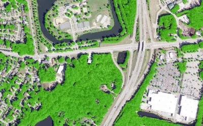
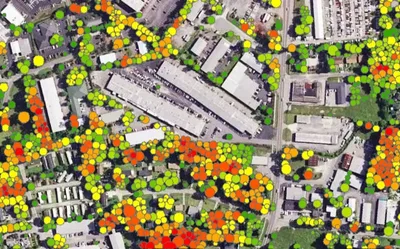
Tree Locations
Points, polygons and heights for individual trees, produced to order using the latest available imagery.
Learn more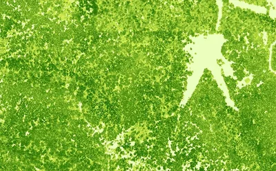
Canopy Height Model
85%+ of the US at 50cm resolution. Tree heights in feet. Produced to order using the latest available LiDAR.
Learn more