We wish everyone knew GIS could help with that
Feb 9, 2026
A LinkedIn series launch using a US tree canopy map to argue GIS is for everyone, not just mapmakers. Each post follows a why/what/how structure across six audiences, from academics to nonprofits.
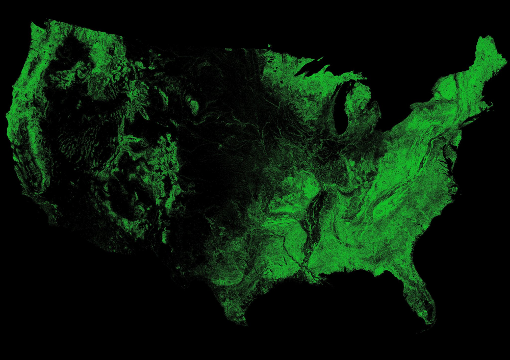
Yes, we made this beauty, and yes, it’s real data.
We keep thinking: "We wish everyone knew that GIS could help with that". Well, we're going to make sure that at least the folks in our orbit get to know.
Most people seem to think GIS is for cartographers and city planners - not true! We're sharing real scenarios showing what GIS can do for everyone. In each post, we’ll explain ‘why’ GIS will help you, ‘what’ outcomes you can expect, and ‘how’ you can do this using existing data sources (both free and paid). Here’s what we will cover:
- Academics applying for grants and designing defensible research
- Telecom engineers planning 5G infrastructure
- Healthcare admins closing service gaps
- Community leaders wanting to improve their neighborhoods
- Entrepreneurs choosing business locations
- Nonprofit leaders proving program impact
For now, we'll leave you with this gorgeous US-wide tree canopy map. It shows coverage density across the country, and always leaves us (no pun intended) pondering over all the things we could do, given this data :)
PS: A lot of our examples will be US-centric since that’s where most of EarthDefine’s data are from, but there are wonderful GIS data providers all over the world that can support your work.
#GIS #GeospatialAI #DataDrivenDecisions #SpatialIntelligence
Related products
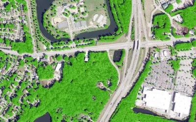

Land Cover
Seven ground-cover classes at 30cm or 60cm resolution, produced on demand for your area of interest across the United States.
Learn more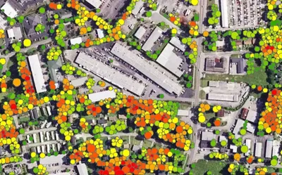
Tree Locations
Points, polygons and heights for individual trees, produced to order using the latest available imagery.
Learn more