What Precision Means in the Private Sector
Jul 14, 2026
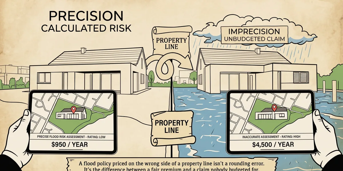
A flood policy priced on the wrong side of a property line isn't a rounding error. It's the difference between a fair premium and a claim nobody budgeted for.
The Problem with Approximate Location
For decades, industries that price risks or plan infrastructure by location worked with approximate data and treated it as good enough.
- An insurer might geocode a policy to the center of a parcel rather than the actual structure being insured on the property.
- A telecommunications planner might design a network around 30-meter clutter data that couldn't tell a rooftop from a treetop.
Approximate was fine when the decisions built on top of it were approximate too. That stopped being true as both industries got more precise about what they were trying to manage and achieve.
Geocode is a code that represents the location of an object, such as an address, a census tract, a postal code, latitude-longitude, or x,y coordinates.
-ESRI
What Changed?
In property insurance, the shift went from parcel-centroid geocoding to rooftop-level geocoding: pinpointing the actual structure rather than the general area it sits in. The distinction matters most at the edges. When a flood zone boundary crosses a parcel, a centroid-based geocode can place a building in the wrong zone entirely, and even a small gap between the geocoded point and the real structure can shift a flood-risk assessment enough to change the premium.
Telecommunication planning went through a parallel adjustment. Traditional network models utilized 30-meter resolution terrain and clutter data. Fifth-generation networks, especially millimeter-wave deployments, need a clear modeled line of sight between a signal source and its target. This means planners need to know more than "something is in the general area" and more precisely where a building, a rooftop, or a stand of trees resides.
Why it Adds Up
Neither industry treats this as a nice-to-have.
- In insurance, the case for rooftop-level precision comes down to correctly assigning risk zones for the properties sitting closest to a flood-zone boundary, where the cost of getting it wrong compounds across an entire book of business.
- In Telecommunications, the largest concern is avoiding coverage gaps: a network model built on data too coarse to see a rooftop or a treetop will predict signal where none actually reaches.
That gap shows up later as a customer complaint or a costly site revisit.
The Takeaway
Neither industry adopted precise geospatial data because it sounded impressive. They adopted it because the old approximation was costing them money in ways that were hard to see until someone mapped it properly. That's really the throughline for GIS across every sector it touches: it doesn't change what you're trying to do, it changes how confidently you can do it.
Curious about your area? Request a free quote