EarthDefine Maps 183M 3D Buildings for 5G & Insurance
Jul 28, 2022
AI startup EarthDefine has expanded its 3D building database to over 183 million U.S. structures. The data helps telecom companies optimize 5G networks and P&C insurers improve underwriting accuracy.
PR Newswire
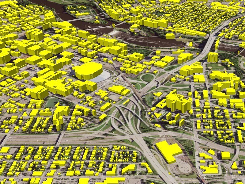
AI Startup EarthDefine Helps Telecom Companies Develop More Robust 5G Networks and P&C Insurers Boost Underwriting Accuracy by Expanding its 3D Building Footprint Database to Over 183 Million Structures Across the U.S.
Source: PR Newswire
"EarthDefine's Latest Release Adds Over 27 Million New Commercial and Residential 3D Building Footprints Allowing Telecommunications Companies to Develop More Precise 5G Networks and Help P&C Insurers Assess and Price Risk with More Precision"
Related products

Building Footprints 3D
202M+ buildings mapped, with heights and elevations. Available off-the-shelf.
Learn more

Clutter3D
Telecom's most precise RF clutter dataset. Signal-aware classes, per-pixel LiDAR heights, nationwide at 1m resolution.
Learn more