UrbanWatch: A 1-meter resolution land cover and land use database for 22 major cities in the United States
Sep 1, 2022
UrbanWatch maps 22 major U.S. cities at a 1-meter resolution using the AI-driven FLUTE framework, achieving 91.52% accuracy across nine land cover classes to power smarter urban planning.
Remote Sensing of Environment
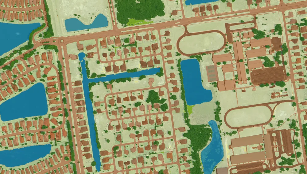
Very-high-resolution (VHR) land cover and land use (LCLU) is an essential baseline data for understanding fine-scale interactions between humans and the heterogeneous landscapes of urban environments. In this study, we developed a Fine-resolution, Large-area Urban Thematic information Extraction (FLUTE) framework to address multiple challenges facing large-area, high-resolution urban mapping, including the view angle effect, high intraclass and low interclass variation, and multiscale land cover types. FLUTE builds upon a teacher-student deep learning architecture, and includes two new feature extraction modules – Scale-aware Parsing Module (SPM) and View-aware Embedding Module (VEM). Our model was trained with a new benchmark database containing 52.43 million labeled pixels (from 2014 to 2017 NAIP airborne Imagery) to capture diverse LCLU types and spatial patterns. We assessed the credibility of FLUTE by producing a 1-meter resolution database named UrbanWatch for 22 major cities across the conterminous United States. UrbanWatch contains nine LCLU classes – building, road, parking lot, tree canopy, grass/shrub, water, agriculture, barren, and others, with an overall accuracy of 91.52%. We have further made UrbanWatch freely accessible to support urban-related research, urban planning and management, and community outreach efforts: https://urbanwatch.charlotte.edu.
Related products
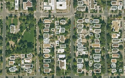
Building Footprints 3D
202M+ buildings mapped, with heights and elevations. Available off-the-shelf.
Learn more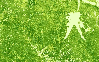
Canopy Height Model
85%+ of the US at 50cm resolution. Tree heights in feet. Produced to order using the latest available LiDAR.
Learn more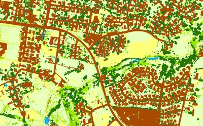
Land Cover
Seven ground-cover classes at 30cm or 60cm resolution, produced on demand for your area of interest across the United States.
Learn more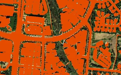
Impervious Map
Nationwide at 60cm. All impervious surfaces. Produced to order using the latest available imagery.
Learn more